Knowledge base
Blog
Services
  • PPK GNSS for drones and VTOLs
    • PPK GNSS receiver installation on DJI and Autel consumer drones
    • PPK GNSS receiver installation on DJI enterprise drones
    • PPK GNSS receiver installation on VTOL
  • Surveying equipment development
    • Drone and VTOL camera development
    • LiDAR development for your brand
  • Surveying services
    • Bathymetric survey service
    • Laser scanning and photogrammetry data processing
    • Laser scanning service
    • Photogrammetry service
  • Surveyor training
    • Comprehensive training in flight and data processing
Company
  • Staff
  • News
  • Reviews
  • Vacancy
  • Licenses
  • Documents
Information
  • Requisites
Brands
Contacts
    +41 21 588 02 11
    +41 21 588 02 11 09:00-18:00 whatsapp.svg
    Sales [email protected] email.png
    Support [email protected] email.png
    Telegram Channel @topodronesa tg.svg
    Telegram Chat @topodronesagroup tg.svg
    Telegram Bot @topodronecombot tg.svg
    Facebook @topodronesa ycz1c9257s6gh7g315r8q6tob3bnddba.png
    Youtube @topodronesa youtube.png
    LinkedIn @topodrone 9ratq3v3eavnhupo1akvxp0sbx4vopj5.png
    X @topodrone twitter.png
    Instagram @topodrone tpxkj71axu6dxt423lwj5idzwcej1njx.png
    Email
    [email protected] - Sales
    [email protected] - Support
    The address
    TOPODRONE SA, Rue de la Gare 13, 1820 Montreux, Switzerland
    Working hours
    10:00-18:00
    TOPODRONE
    SPH Engineering
    3Dsurvey
    Velodyne
    DJI
    GreenValley International
    Honeywell
    Fixar
    Blue Marble Geographics
    Sony
    Agisoft
    EMLID
    Pix4D
    Autel Robotics
    SHAREUAV
    • LiDAR
      LiDAR
      • Aerial Survey LiDAR
      • SLAM Survey LiDAR
      • LiDAR Software
      • LiDAR Accessories
    • Bathymetry
      Bathymetry
    • Mapping
      Mapping
      • Mapping Drones
      • Enterprise Drones
      • UAV Mapping
      • Mapping Software
    • PPK Kits
      PPK Kits
      • For the Drones
      • For the Enterprise Drones
      • For All UAVs
    • Spectrography
      Spectrography
      • SWIR
      • Thermal
      • Multispectral
      • Hyperspectral
    • UAV
      UAV
      • DJI
      • FIXAR
      • Innotech
      • aOrion
    • Payload
      Payload
      • Aerial Survey LiDAR
      • Bathymetric Scanner
      • Photogrammetric Cameras
      • Thermal Cameras
      • Multispectral Cameras
    • Software
      Software
      • TOPODRONE
      • UgCS
      • Agisoft
      • 3Dsurvey
      • LiDAR360
      • DJI
      • Hydromagic
      • Pix4D
    • GNSS Equipment
      GNSS Equipment
      • EMLID
      • DJI
    TOPODRONE – LiDAR & UAV Survey
    TOPODRONE – LiDAR & UAV Survey
    TOPODRONE – LiDAR & UAV Survey
    Telephones
    +41 21 588 02 11 09:00-18:00 whatsapp.svg
    Sales [email protected] email.png
    Support [email protected] email.png
    Telegram Channel @topodronesa tg.svg
    Telegram Chat @topodronesagroup tg.svg
    Telegram Bot @topodronecombot tg.svg
    Facebook @topodronesa ycz1c9257s6gh7g315r8q6tob3bnddba.png
    Youtube @topodronesa youtube.png
    LinkedIn @topodrone 9ratq3v3eavnhupo1akvxp0sbx4vopj5.png
    X @topodrone twitter.png
    Instagram @topodrone tpxkj71axu6dxt423lwj5idzwcej1njx.png
    Email
    [email protected] - Sales
    [email protected] - Support
    The address
    TOPODRONE SA, Rue de la Gare 13, 1820 Montreux, Switzerland
    Working hours
    10:00-18:00
    • Brands
    • Sales
    • Services
      • Services
      • PPK GNSS for drones and VTOLs
        • PPK GNSS for drones and VTOLs
        • PPK GNSS receiver installation on DJI and Autel consumer drones
        • PPK GNSS receiver installation on DJI enterprise drones
        • PPK GNSS receiver installation on VTOL
      • Surveying equipment development
        • Surveying equipment development
        • Drone and VTOL camera development
        • LiDAR development for your brand
      • Surveying services
        • Surveying services
        • Bathymetric survey service
        • Laser scanning and photogrammetry data processing
        • Laser scanning service
        • Photogrammetry service
      • Surveyor training
        • Surveyor training
        • Comprehensive training in flight and data processing
    • Company
      • Company
      • Staff
      • News
      • Reviews
      • Vacancy
      • Licenses
      • Documents
    • Blog
    • Information
      • Information
      • Requisites
    • Contacts
    +41 21 588 02 11 09:00-18:00
    • Telephones
    • +41 21 588 02 11 09:00-18:00
      whatsapp.svg
    • Sales [email protected]
      email.png
    • Support [email protected]
      email.png
    • Telegram Channel @topodronesa
      tg.svg
    • Telegram Chat @topodronesagroup
      tg.svg
    • Telegram Bot @topodronecombot
      tg.svg
    • Facebook @topodronesa
      ycz1c9257s6gh7g315r8q6tob3bnddba.png
    • Youtube @topodronesa
      youtube.png
    • LinkedIn @topodrone
      9ratq3v3eavnhupo1akvxp0sbx4vopj5.png
    • X @topodrone
      twitter.png
    • Instagram @topodrone
      tpxkj71axu6dxt423lwj5idzwcej1njx.png
    • [email protected] - Sales
      [email protected] - Support
    • TOPODRONE SA, Rue de la Gare 13, 1820 Montreux, Switzerland
    • 10:00-18:00
    Main
    Products
    Mapping

    Mapping

    8
    TOPODRONE survey grade drones are designed to perform high-precision aerial survey and mapping. All drones are equipped with a multi-system L1/L2 TOPODRONE PPK on-board GNSS receiver with integrated IMU, which allows you to perform aerial survey with an 2-3 cm accuracy XYZ without using GCPs. These drones are suitable for creating 1:500 topographic maps, accurate measurement of volumes, engineering and other surveys.
    Mapping Drones
    Mapping Drones
    2 goods
    Enterprise Drones
    Enterprise Drones
    3 goods
    UAV Mapping
    UAV Mapping
    3 goods
    Mapping Software
    Mapping Software
    By default (ascending)
    By default (ascending)
    By default (descending)
    Filter
    By default (ascending)
    By default (ascending)
    By default (descending)
    Price
    0
    1 878
    3 755
    5 633
    7 510
    Show
    Offers
    All
    Show
    Selected: 0 Show
    Selected: 0
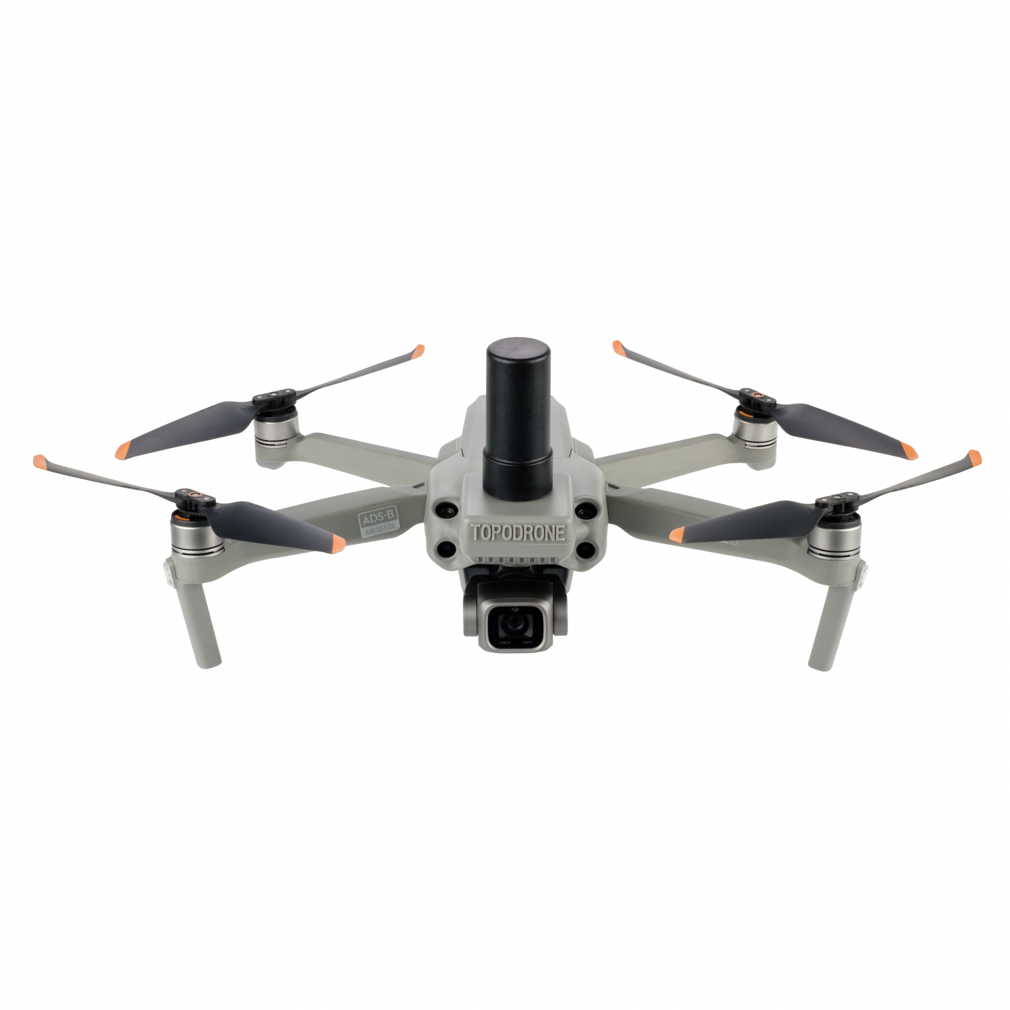
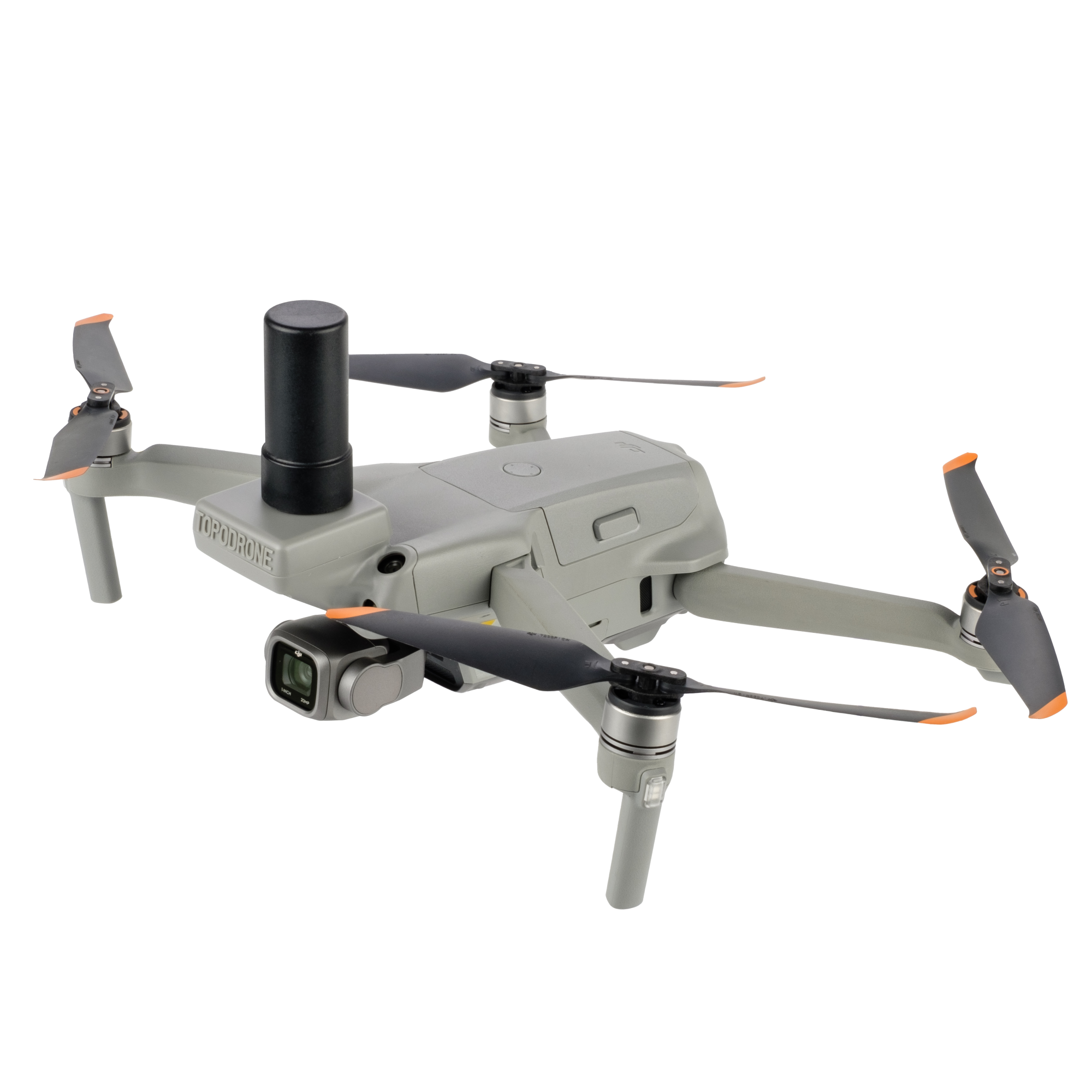
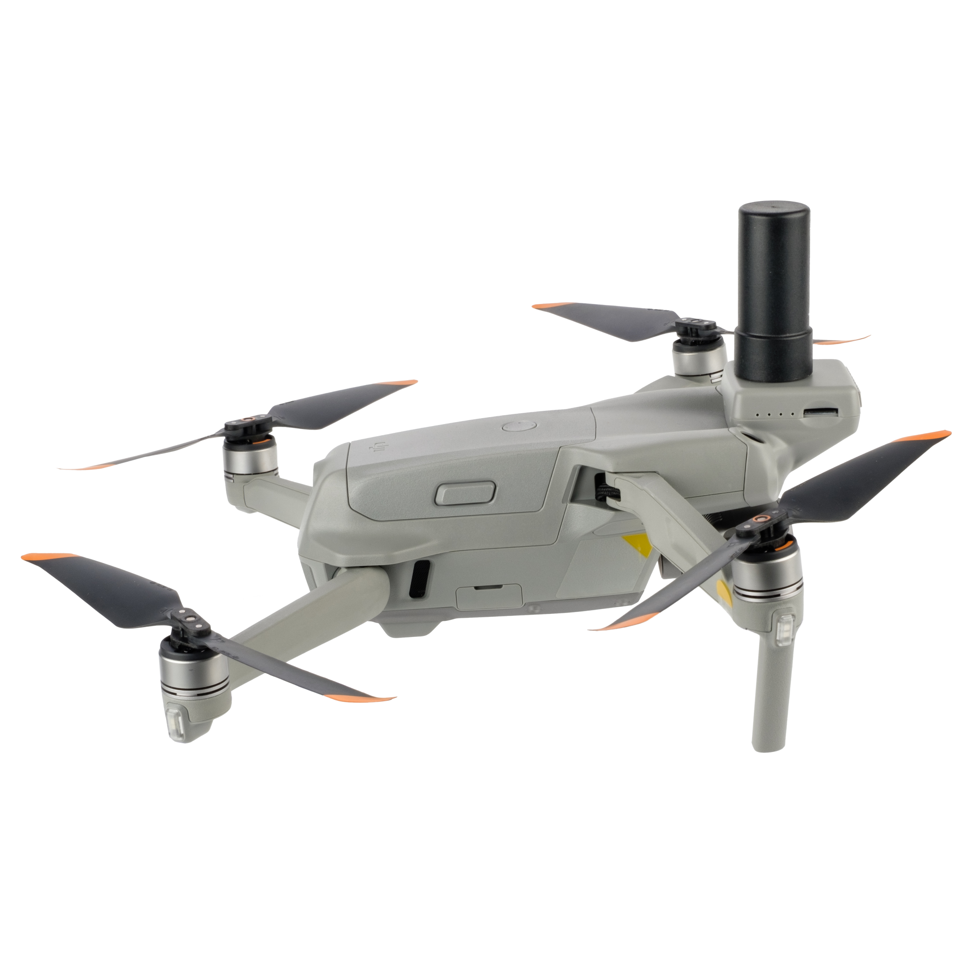
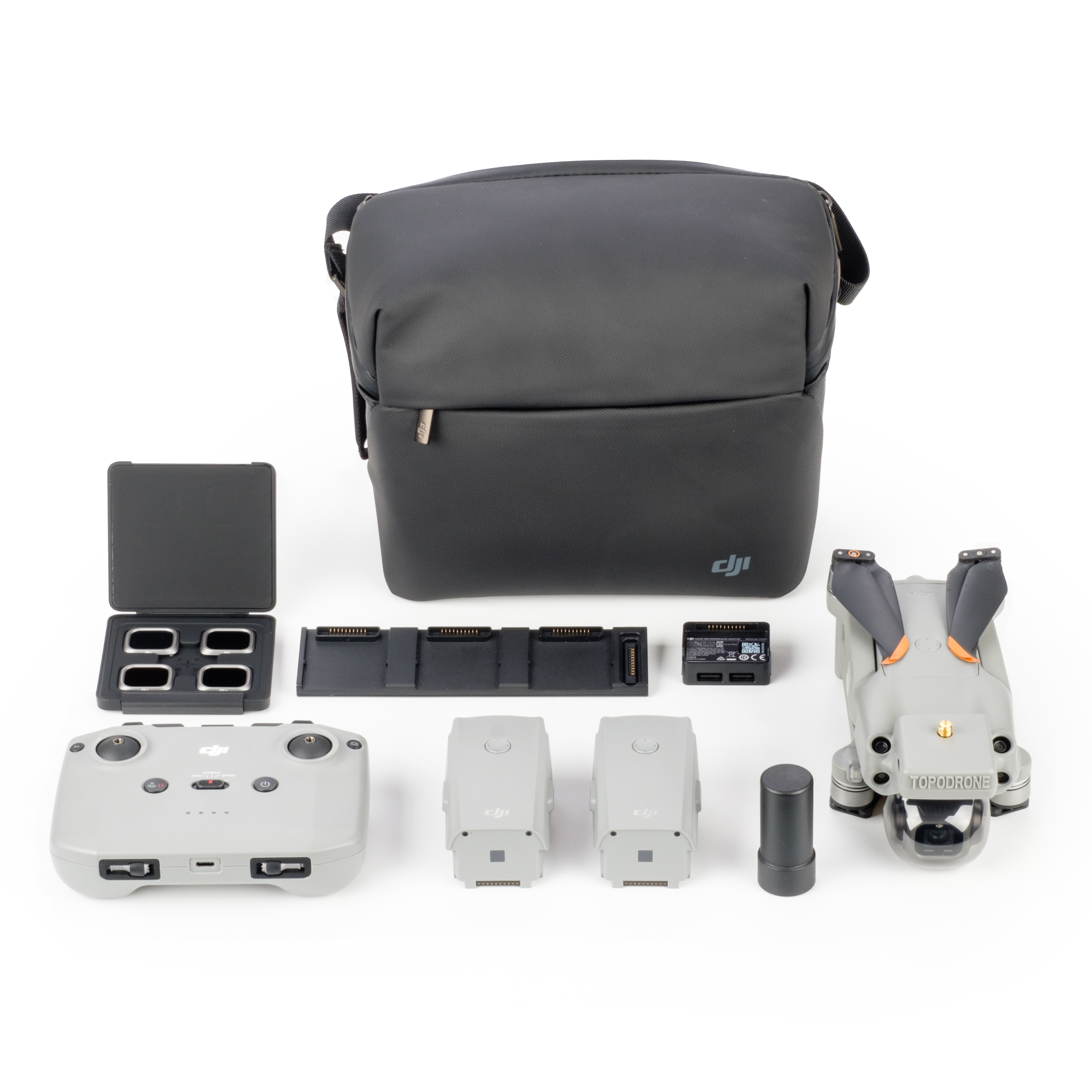
    TOPODRONE PPK GNSS module for DJI Air 2S TOPODRONE PPK GNSS module for DJI Air 2S TOPODRONE PPK GNSS module for DJI Air 2S TOPODRONE PPK GNSS module for DJI Air 2S
    $1 660
    TOPODRONE PPK GNSS module for DJI Air 2S
    5
    0
    Available
    Art. TDCH3102
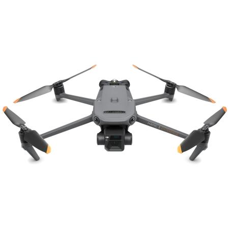
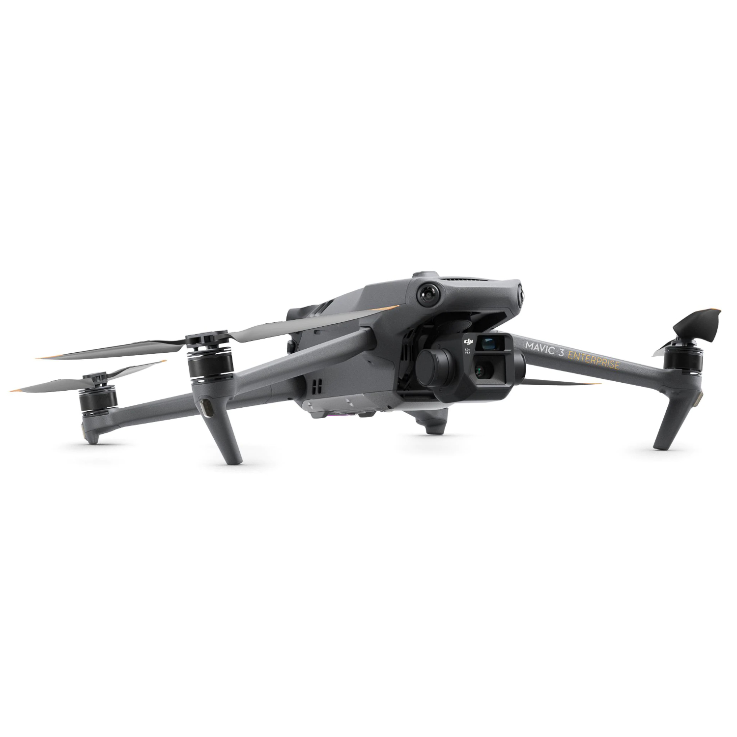
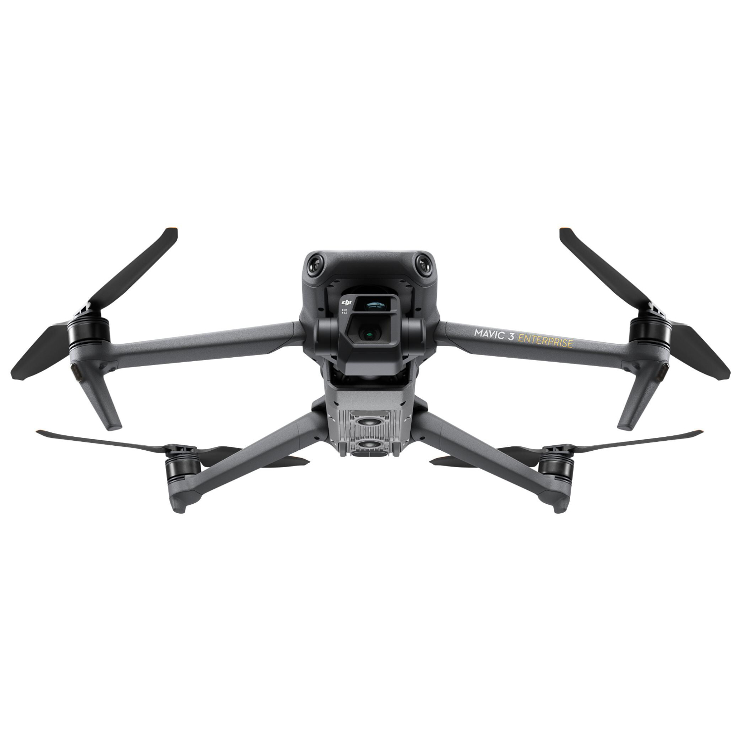
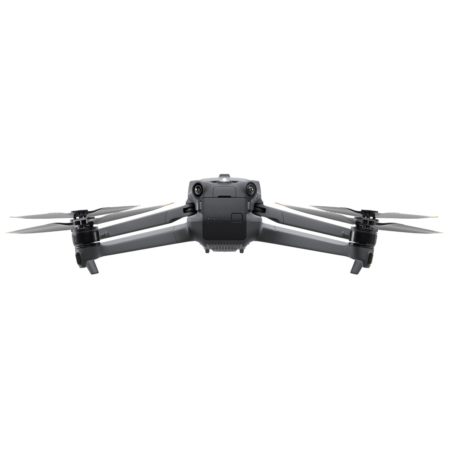
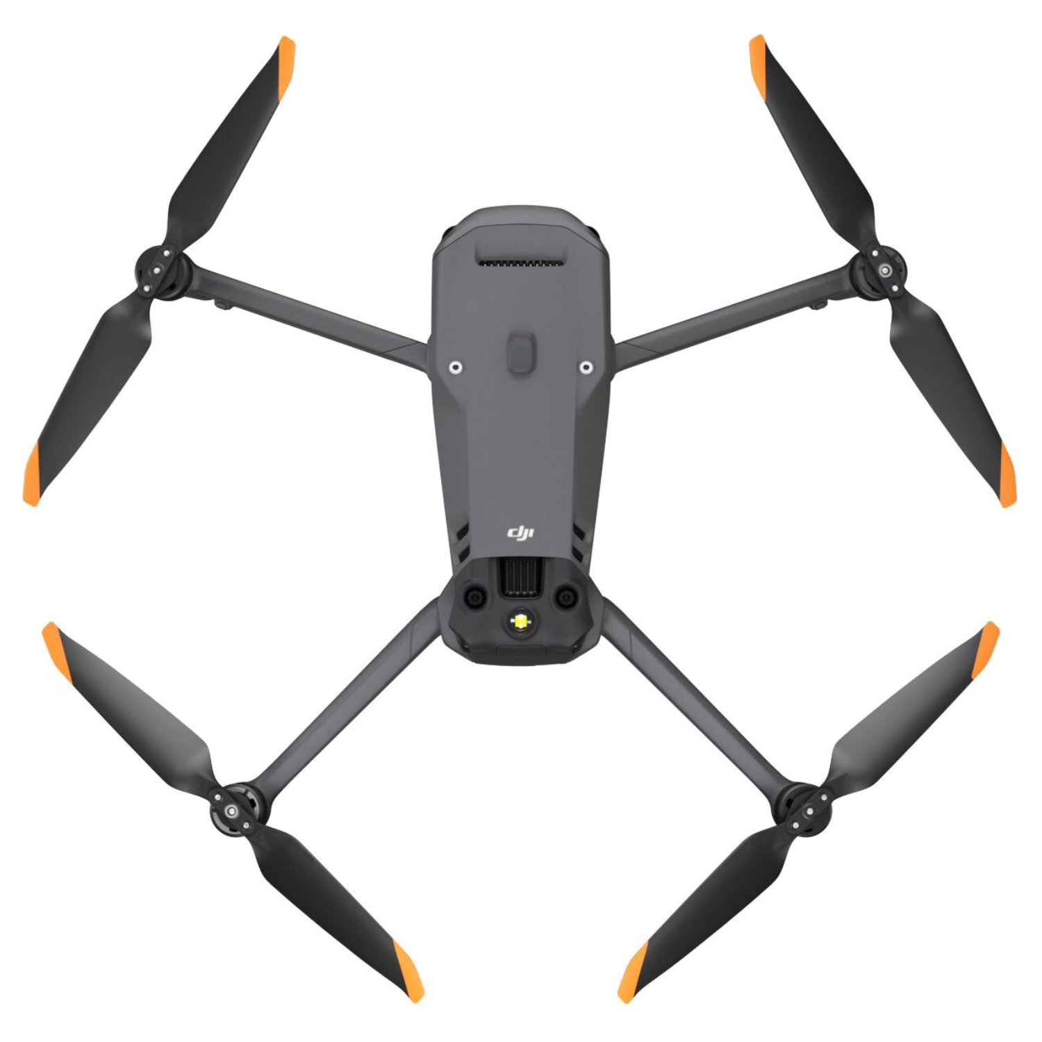
    DJI Mavic 3 Enterprise drone with RTK module DJI Mavic 3 Enterprise drone with RTK module DJI Mavic 3 Enterprise drone with RTK module DJI Mavic 3 Enterprise drone with RTK module DJI Mavic 3 Enterprise drone with RTK module
    $1 660
    DJI Mavic 3 Enterprise drone with RTK module
    5
    0
    Available
    Art. TDCH3103
    Recommend
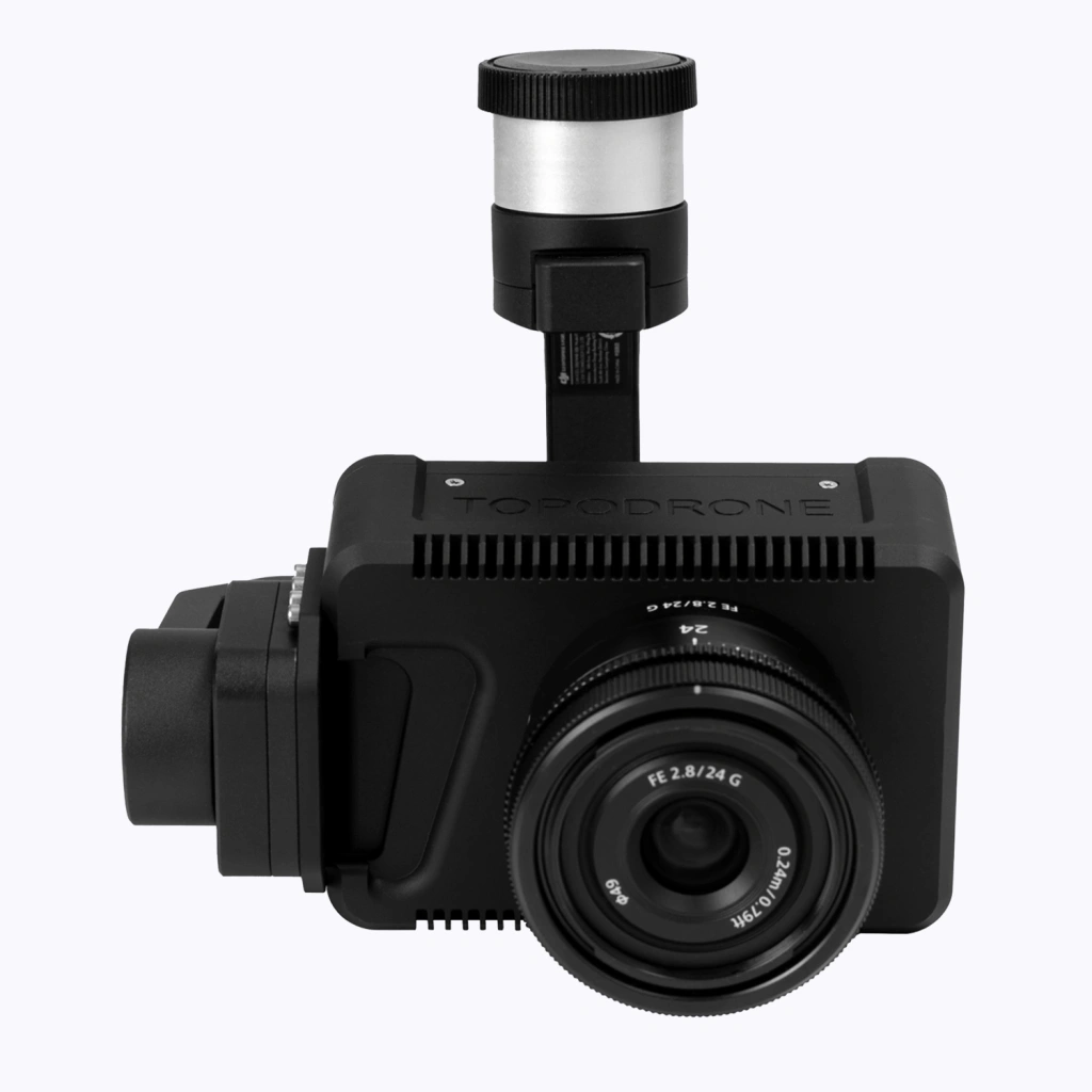
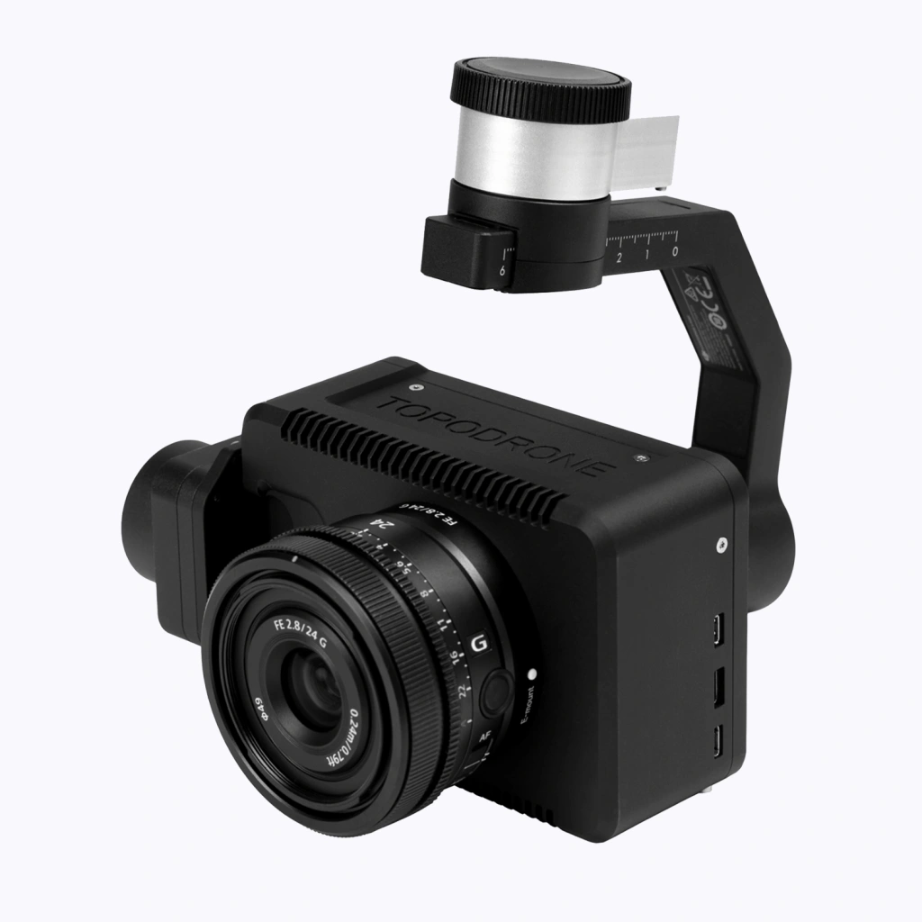
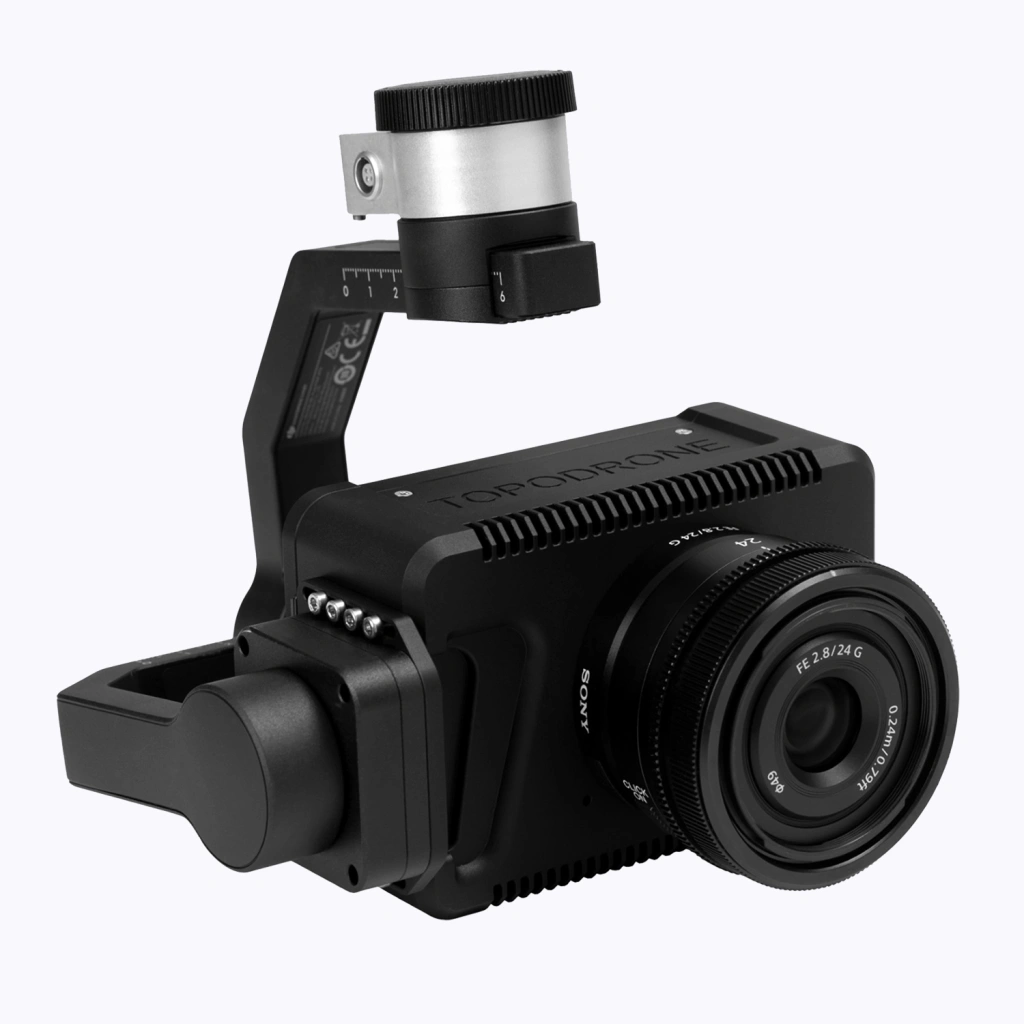
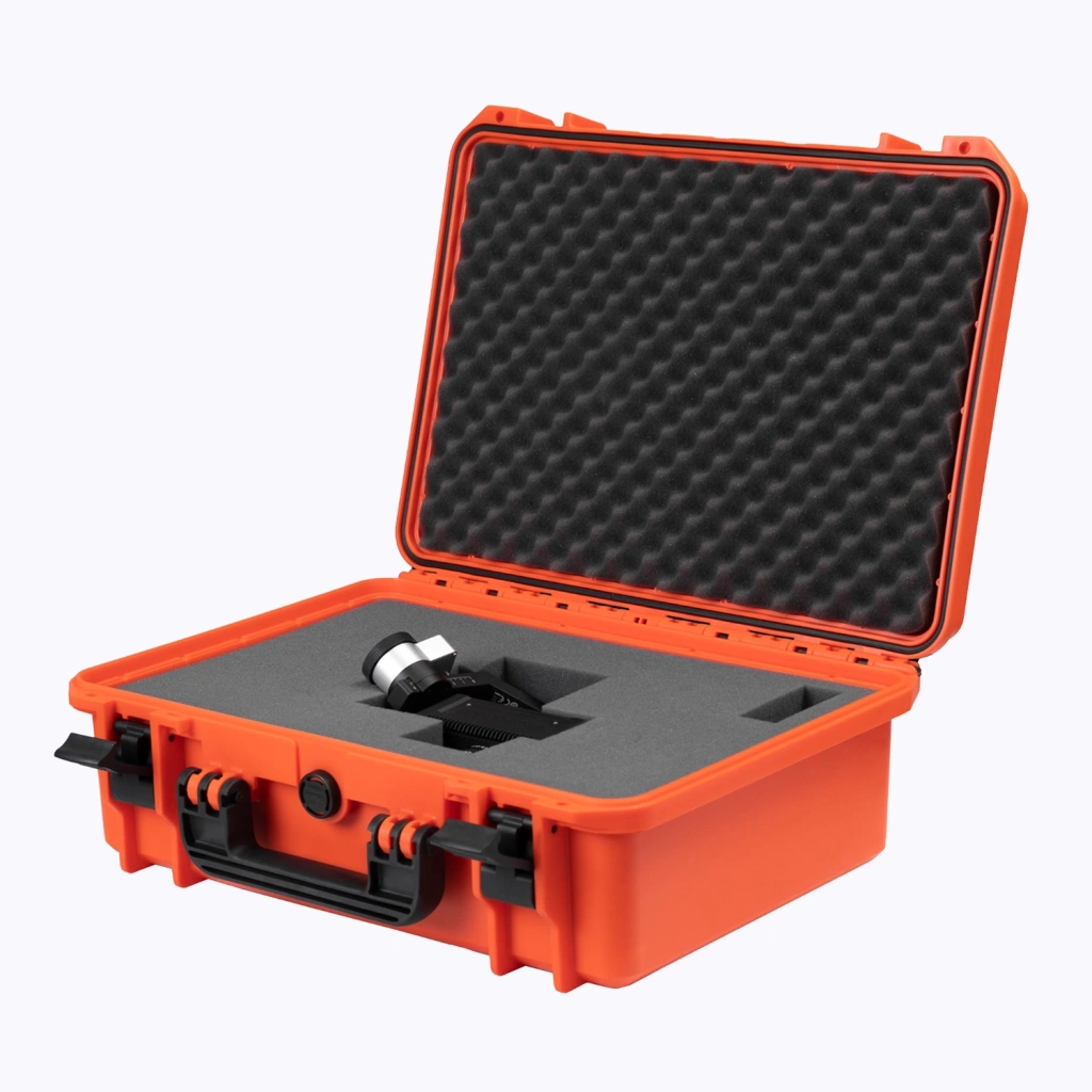
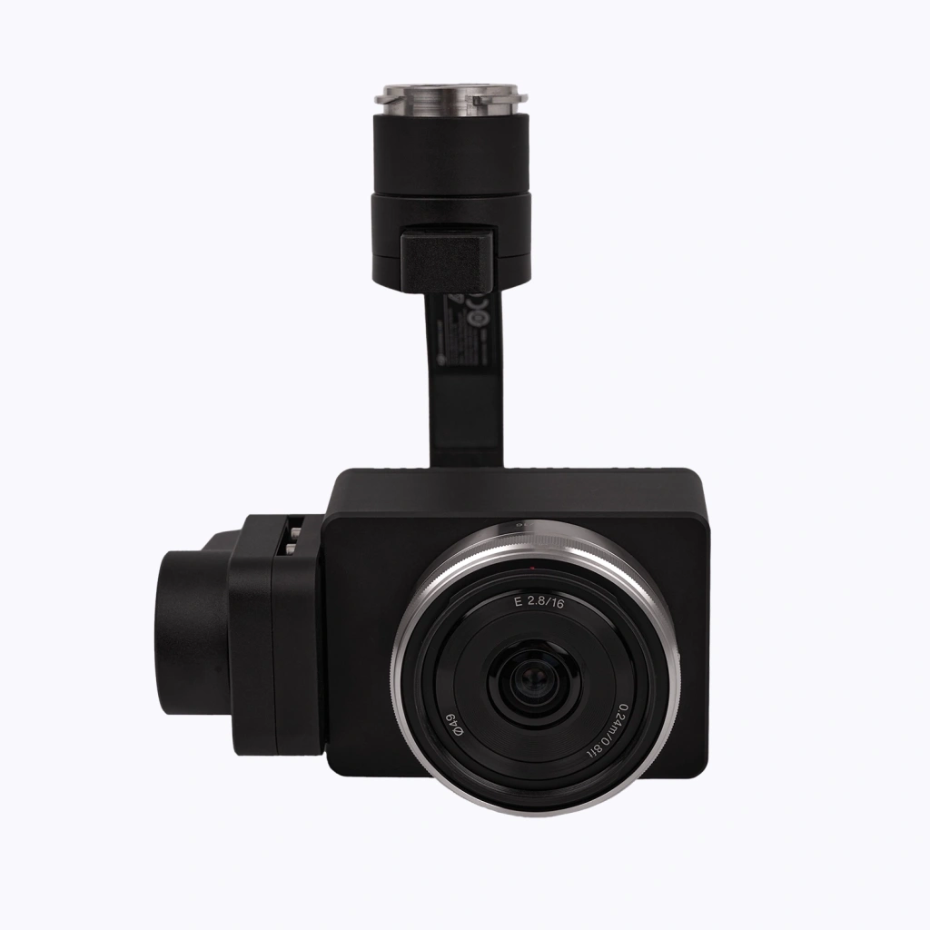
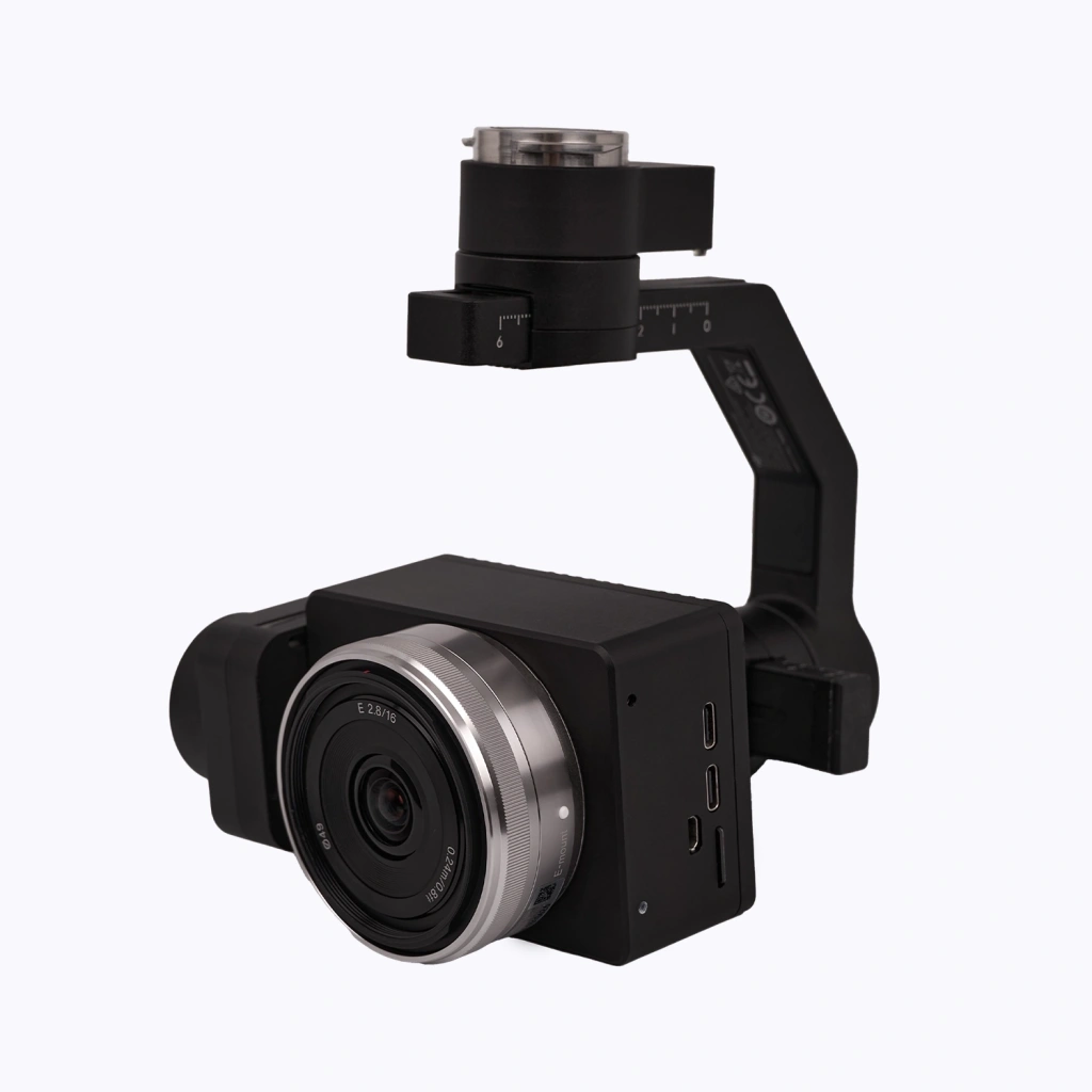
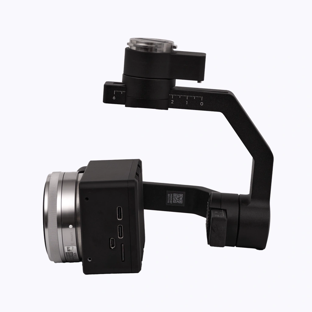
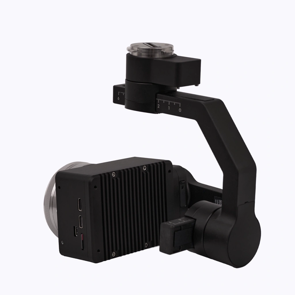
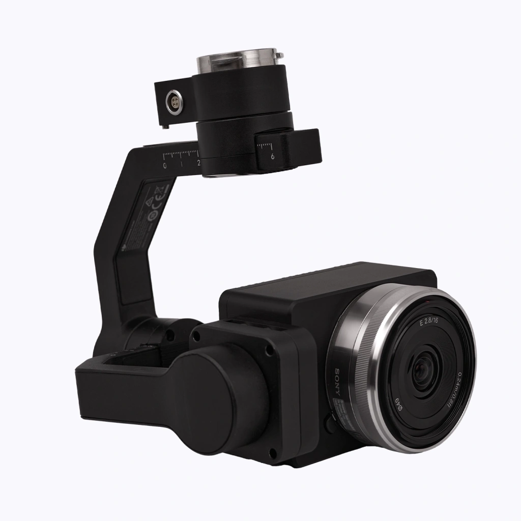
    TOPODRONE P61 mapping camera with DJI X-Port TOPODRONE P61 mapping camera with DJI X-Port TOPODRONE P61 mapping camera with DJI X-Port TOPODRONE P61 mapping camera with DJI X-Port TOPODRONE P61 mapping camera with DJI X-Port
    $7 510
    TOPODRONE P61 mapping camera with DJI X-Port
    5
    0
    Available
    Art. TDCH3201
    More info
    PPK module: no PPK
    Weight : 800 g
    Sensor Quantity : 1
    Sensor Resolution : 61 Mp
    Sensor Type : CMOS
    Sensor Size : 35.7 х 23.8 mm
    ISO Sensitivity : 100-32000
    Remote Camera Control : Yes
    Video Transmission to Remote : Yes
    Recommend
    Hit
    New
    TOPODRONE P24 mapping camera with DJI X-Port TOPODRONE P24 mapping camera with DJI X-Port TOPODRONE P24 mapping camera with DJI X-Port TOPODRONE P24 mapping camera with DJI X-Port TOPODRONE P24 mapping camera with DJI X-Port
    $3 400
    TOPODRONE P24 mapping camera with DJI X-Port
    5
    0
    Available
    Art. TDCH3203
    More info
    PPK module: no PPK
    Weight : 520 g
    Sensor Quantity : 1
    Sensor Resolution : 24 Mp
    Sensor Type : CMOS
    Sensor Size : 23.5 х 15.6 mm
    ISO Sensitivity : 100-32000
    Remote Camera Control : Yes
    Video Transmission to Remote : Yes
    DJI Matrice 350 RTK with TOPODRONE P61 with DJI X-Port and TOPODRONE DUAL PPK GNSS module
    DJI Matrice 350 RTK with TOPODRONE P61 with DJI X-Port and TOPODRONE DUAL PPK GNSS module
    5
    0
    Available
    Art. TDCH3213
    More info
    Camera model: TOPODRONE P61
    Country of Origin : Switzerland
    Year of release : 2022
    Product Dimensions : 810×670×430 mm
    Operating Temperature Range : -20° to 50° C
    UAV Type : Quadcopter
    Power Type : Electric
    Control Method : Manual from remote, Automatic from remote
    Maximum Flight Time : 55 minutes
    Maximum Real Flight Time : 40 min
    Maximum Speed : 23 m/s
    Take-off Weight : 9,2 kg
    Maximum Wind Speed : 12 m/s
    Maximum Altitude : 7000 m
    Battery Capacity : 5880 mAh
    Sensors and Cameras : FPV camera, infrared sensing system, vision system
    GNSS channels number : 1408
    Update Rates : 20 Hz
    Supported Signals : GPS L1C/A, L2C, L1C, L2P (Y), L5;GLONASS L1, L2, L3;BeiDou B1I, B2I, B3I, B1C, B2a, B2b;Galileo E1, E5b, E5a, E6;SBAS L1C/A;QZSS L1, L2, L5
    Sensor Quantity : 1
    Sensor Resolution : 61 Mp
    Sensor Type : CMOS
    Sensor Size : 35.7 х 23.8 mm
    ISO Sensitivity : 100-32000
    Remote Camera Control : Yes
    Video Transmission to Remote : Yes
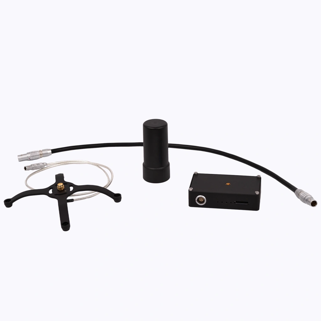
    TOPODRONE DUAL PPK GNSS module without antenna
    $1 520
    TOPODRONE DUAL PPK GNSS module without antenna
    5
    0
    Available
    Art. TDCH3301
    More info
    PPK module: no PPK
    TOPODRONE DUAL PPK GNSS module for Sony ILX-LR1 camera with 1 antenna
    $0
    TOPODRONE DUAL PPK GNSS module for Sony ILX-LR1 camera with 1 antenna
    5
    0
    Available
    Art. TDCH3304
    More info
    PPK module: no PPK
    FIXAR 007 with TOPODRONE P61 with TOPODRONE DUAL PPK GNSS module
    $0
    FIXAR 007 with TOPODRONE P61 with TOPODRONE DUAL PPK GNSS module
    0
    0
    Available
    Art. TDCH3309
    More info
    Camera model: TOPODRONE P61
    Country of Origin : Switzerland
    Year of release : 2022
    GNSS channels number : 1408
    Update Rates : 20 Hz
    Supported Signals : GPS L1C/A, L2C, L1C, L2P (Y), L5;GLONASS L1, L2, L3;BeiDou B1I, B2I, B3I, B1C, B2a, B2b;Galileo E1, E5b, E5a, E6;SBAS L1C/A;QZSS L1, L2, L5
    Sensor Quantity : 1
    Sensor Resolution : 61 Mp
    Sensor Type : CMOS
    Sensor Size : 35.7 х 23.8 mm
    ISO Sensitivity : 100-32000
    Remote Camera Control : Yes
    Video Transmission to Remote : Yes
    Category
    • Mapping
      • Mapping Drones
      • Enterprise Drones
      • UAV Mapping
      • Mapping Software
    Connect with us
    +41 21 588 02 11
    +41 21 588 02 11 09:00-18:00 whatsapp.svg
    Sales [email protected] email.png
    Support [email protected] email.png
    Telegram Channel @topodronesa tg.svg
    Telegram Chat @topodronesagroup tg.svg
    Telegram Bot @topodronecombot tg.svg
    Facebook @topodronesa ycz1c9257s6gh7g315r8q6tob3bnddba.png
    Youtube @topodronesa youtube.png
    LinkedIn @topodrone 9ratq3v3eavnhupo1akvxp0sbx4vopj5.png
    X @topodrone twitter.png
    Instagram @topodrone tpxkj71axu6dxt423lwj5idzwcej1njx.png
    Email
    [email protected] - Sales
    [email protected] - Support
    The address
    TOPODRONE SA, Rue de la Gare 13, 1820 Montreux, Switzerland
    Working hours
    10:00-18:00
    [email protected] - Sales
    [email protected] - Support
    TOPODRONE SA, Rue de la Gare 13, 1820 Montreux, Switzerland
    Products
    Sales
    Brands
    Services
    Applications
    Company
    Staff
    News
    Reviews
    Vacancy
    Licenses
    Documents
    Information
    Requisites
    Help
    Payment
    Delivery
    Warranty
    FAQ
    © 2025 TOPODRONE SA
    Privacy Policy